What you need to know about the Maryland Avenue Bike Parade

On Saturday, November 5th we're celebrating the new Maryland Avenue cycle track with a celebration and bike parade! Event details are here, but you can find some FAQs we've been hearing below. 
 

Is the cycle track finished? Isn't there a sinkhole?
The cycle track was originally scheduled to be finished by Saturday, but the sinkhole temporarily halted construction. The contractor will be working hard this week to complete as much as possible before the parade. In the event storm grates or other fixes haven't gone in by Saturday, we'll have any hazards marked with cones and spray painted orange. In short, we're not going to let a sinkhole stop us from celebrating this BIG win for biking in Baltimore.

What's the revised route? 
Check out the modified sinkhole-avoiding bike parade route below, starting at Wyman Park Dell and ending at Mt. Vernon Market Place. 

Did I hear something about free coffee and donuts?
You heard right! At Wyman Park Dell from 10 to 11am we'll be serving up free apple cider donuts from Weber's Cider Mill Farm and coffee generously donated by Zeke's Coffee.

Who can ride?
EVERYONE! This is a slow roll and all are welcome. Kids and families are especially encouraged to come!

What should we wear? 
This is meant to be a fun and silly bike parade, so we encourage costumes and general goofy decorating of yourself and your bike. And we'll have a bike decorating table at the park from 10 to 11am, lead by the amazing Charlotte Hager

Are we obeying traffic signals?
Yes! This is a ride to enjoy the new protected bike infrastructure, and as such, we'll ride the cycle track as it's designed to be ridden. This means stopping at red lights and obeying rules of the road. 

What if I'm not a morning person? 
Can't make it to the ride? Plan to have lunch at Mt. Vernon Market Place, where the bike parade will be ending! From 11am to 2pm, Mt. Vernon Market Place vendors Fresh Mondays, Juniper, Local Oyster, Pinch, and Taps Fill Station will be donating 10% of their proceeds to Bikemore.


You can check out the rest of the event details below, and be sure to RSVP and invite your friends on Facebook!


Still have questions about the event? Email Danielle@bikemore.net.
 

#DirectDOT: Lessons from Seattle & Pittsburgh about building quality, quickly

Seattle built a 1.2 mile two-way protected bike lane in just 4 months and in Pittsburgh it took 4 months to announce, build and install their first three protected bike lanes. Seattle and Pittsburgh are cities with leadership (and bike advocates!) that have a strong commitment to bike infrastructure, evident by the quality and speed at which they're building. 

While local conditions will always vary, seeing cities quickly building quality bike infrastructure demonstrates what is possible with committed, forward thinking leadership.

What do we love about how bike infrastructure is getting built in Seattle?

It's being built quickly. The 2nd Ave bike lane "Originally on schedule for construction in 2016, Murray gave SDOT directions in May to make a protected bike lane happen before Pronto Cycle Share launches in late summer. Four months is a very fast timeline for a project of this scale, but SDOT delivered. Now the city has a jump start on creating a safer and more comfortable bike network in the city center." — Seattle Bike Blog

Volunteers and signs are telling people about changes. In addition to signage, like in the photos below,  the local advocacy group mobilized volunteers to be stationed along the new lane at its opening to answer questions.

The city continues to iterate on the design once they see how people are using it. After a new bike lane opened, the city made several changes to improve problem intersections, including improved “no turn on red” signage and changing green balls to straight arrows.

They're building bike infrastructure in coordination with public transit infrastructure. 
For example, the two-way protected bike lanes on Broadway were created as part of the $134 million First Hill streetcar expansion.

What do we love about how bike infrastructure is getting built in Pittsburgh?

It's being built quickly. It took Pittsburgh 4 months to announce, build and install their first three protected bike lanes. That's really fast! 

Mayor Peduto has a bold, unwavering commitment to building protected bike infrastructure. He said, "It isn't the way it was in 1970. Not everyone's dream is to have their own car and be able to use it to get to work. [...] When you talk about the bike infrastructure and the investment and capital dollars to build it out, you're really not talking about bike lanes. What you're talking about is a multimodal approach to building out your infrastructure."

While community involvement in these projects has been questioned, we believe bike infrastructure projects are strongest with both committed and fearless city leaders and sustained engagement with communities. And here in Baltimore, we're definitely committed to both, with a combination of efforts like #DirectDOT and our community engagement campaign for the Downtown Bike Network.

The city put their money where your mouth is by passing a particularly bike friendly city budget. This included significant funding for protected bike lanes, bike infrastructure in a diversity of neighborhoods, funding for bike racks, improved sidewalks, and more.  

Mayor Peduto issued a Complete Streets Executive Order, which was unanimously adopted by Planning Commission, and affirmatively recommended for City Council to adopt. This ensures that a complete streets vision is carried through all city departments in the design, construction, and maintenance and use of the city's streets.

They're building bike lanes within a complicated landscape of hills, bridges, narrow and non-grid streets. Pittsburgh, not unlike Baltimore, is a city with characteristics that make bike infrastructure and biking itself difficult: tons of hills, bridges, windy roads, and a strong car culture. But the city is taking that as a challenge rather than a barrier. 


According to Bike PGH, census numbers show that bike commuter rates doubled since Pittsburgh began vigorously installing bike lanes in 2007. Seattle and Pittsburgh demonstrate what is possible, and act as an illustration of what we can and should be asking for from Baltimore leadership.


→ Share your vision for a Baltimore that builds quality bike facilities on a reasonable timeline through our #DirectDOT campaign!

#DirectDOT: Amy Bonitz wants all kids to be able to walk to school safely

When you pass by Roland Park Elementary/Middle School on a Wednesday in October, you're likely to see kids with crazy hair, the Loyola mascot, and an outpouring of excitement and energy as students make their way toward school. If you've ever been to a school on an early morning, you'd know that this is not typical — but Walk to School day at Roland Park isn't typical. 

“I feel like I belong to a community when I walk,” says Amy Bonitz, a Baltimore parent taking active steps to get her neighbors walking and biking more — and taking active steps to build the infrastructure that encourages it. Like many, she loves to walk to run errands, to connect with nature along Stony Run Walking Path, to walk her dog and even to get her kids to school. She’s thankful for the tree lined streets and sidewalks in parts of her neighborhood that make these things possible.

For the past few years, she’s been organizing Walk and Bike to School activities for Roland Park Public Elementary/Middle School, with about half of the 1400 students participating in annual Walk to School month in October and Bike to School month in May. “I love how excited the kids get about participating and how parents share their experiences of forming new habits of walking or biking to school,” Amy says.

Amy and other local advocates organized the school community to support the creation of the Roland Park Cycle Track to help kids bike to school, but they're hoping to keep the ball rolling. Like much of Baltimore, the biggest barriers to walking and biking in her neighborhood are “speeding cars and the challenges of crossing major arteries."

But these committed volunteers need the city's support. She wants help to reduce speeding throughout the neighborhood and to create real crossings for bikes and pedestrians at intersections along Northern Parkway and Charles Street. "I feel like some things are harder than they need to be like getting more bike racks for our school. I also feel like the City's Walk to School program is too formulaic and needs to support schools in developing a unique plan to meet the needs of each school."

"I wish all Baltimoreans had the opportunities to walk in a safe environment with trees and adequate sidewalks and crossings. There are way too many one-way streets in Baltimore that are geared toward allowing through traffic to get through neighborhoods as fast as possible. These streets are bleak, mini-highways that undermine any sense of community for residents on either side and create a hostile environment to walk in. There are also too many non-ADA sidewalks and not enough trees and garbage cans.
The ideal street in my mind would be two-way, with on-street parking and street trees. These streets would have trash cans that are emptied frequently to cut down on litter and main streets would incorporate transit to cut down on automobile use. Major streets would also have neighborhood retail or community amenities on the first floor of key buildings to activate those streets and provide nearby amenities. Bike lanes would also be incorporated in a strategic manner to link City neighborhoods together.
We can't have a livable city, reduce health disparities and rebuild devastated neighborhoods if we treat streets in our poorest neighborhoods as highways whose sole job is to move traffic as fast as possible. We need two-way, complete streets in Baltimore's neighborhoods and a DOT leader who is a creative doer that feels a sense of urgency in moving the City toward a 21st century street network." 
— Amy Bonitz

The walk and bike to school days that Amy and other volunteers formally organize are only two months a year, but if you do something for a month, it tends to become a habit. Walk to school on Wednesdays in October has become "walking Wednesdays" year round for many families.

While Amy and her team have accomplished a ton, imagine what a group of committed neighbors and parents could accomplish with the support of a DOT Director who has a vision that all students should be able to safely walk and bike to school. 


→ Share your vision for streets that are safe enough for all kids to walk and bike to school through our #DirectDOT campaign!

West Baltimore Bike Boulevards Project Update

The West Baltimore Bike Boulevard project is funded and designed, with construction planned this coming Spring. This project began the planning, design, and community input process several years ago, and like the Downtown Bike Network, the construction start date is long overdue but finally approaching.

What is a Bike Boulevard?

Bike Boulevards are neighborhood streets that have been prioritized as bicycle routes through changes in street design. These changes are designed in a way to force cars to drive slowly and more carefully, while allowing people on foot or bike to use the road comfortably and safely.

The West Baltimore Bike Boulevards will incorporate bike-friendly speed humps, mini traffic circles, contraflow bike lanes, bike boxes and advance stop bars, as well as neighborhood cut-throughs to prioritize safe, convenient bike travel. Click on some of the images below for examples of these treatments.

Bike Boulevards are ideal for neighborhood streets with traffic volumes or speeds low enough that protected, separate bike lanes aren't necessary. An example of a bike boulevard in Baltimore is Guilford Avenue between Mount Royal and 33rd Streets. When installed, bicycle traffic increased significantly on this corridor.

West Baltimore Bike Boulevards

The West Baltimore Bike Boulevards project installs bicycle boulevards to connect to existing "low-stress" (easy to bike on) streets in the neighborhoods of Franklin Square, Midtown Edmondson, Harlem Park, Poppleton, Sandtown, Union Square, and Hollins Market.

These neighborhoods have been severed for decades by the Route 40 "Highway to Nowhere" which demolished major sections of predominantly African-American neighborhoods for an ill-conceived highway expansion through West Baltimore.

Beyond that obvious barrier to neighborhood connectivity in the project area, there are other significant barriers to opportunity. 55% of households in the project area earn less than $25,000 annually. The majority of the project area's population is of working age, but unemployment is high and job opportunities are few and far between. In many parts of the project area, 80% or more of households lack access to a car.

The bicycle boulevards would have connected these neighborhoods via safe, comfortable bicycle infrastructure to the Baltimore Red Line and the West Baltimore MARC station, providing direct access to a major transit line and the related jobs and access to opportunity it would bring.

Governor Hogan's devastating cancellation of the Baltimore Red Line removed one major connection to this project, but there are numerous other reasons why construction is beneficial, including neighborhood connections to:

  • West Baltimore MARC Station

  • Future West Baltimore BaltimoreLink Transit Center

  • Lafayette Square Park

  • Harlem Square Park

  • Franklin Square Park

  • Union Square Park

  • Bon Secours Hospital

  • James McHenry Recreation Center

  • Hollins Market

  • B&O Museum and Rail Yard

  • Mount Clare Junction Shopping Center

Baltimore Bike Share will launch in the project area during installation of the bike boulevards. Bike Share is successful when it is directly connected to "low-stress" infrastructure like bike lanes and bike boulevards, so it is a perfect match for this project installation.

With the hopeful success of advocates like the Baltimore Transit Equity Coalition, a revived Red Line would just be an added benefit for this project.

Bikemore has been advocating for this project for several years, providing feedback to DOT on design and community outreach, and encouraging community members to attend planning and design meetings to give feedback on how the project can best meet the needs of their neighborhoods. With construction negotiations underway, Bikemore will continue to monitor DOT's process to ensure a timely and correct installation.


We need your support so that we can continue to see more victories like this one, and that we see them faster.

#DirectDOT: New Complete Streets Policy for Baltimore

Rendering: NACTO

Rendering: NACTO

What is a complete street?

"Complete Streets are streets for everyone. They are designed and operated to enable safe access for all users, including pedestrians, bicyclists, motorists and transit riders of all ages and abilities. 

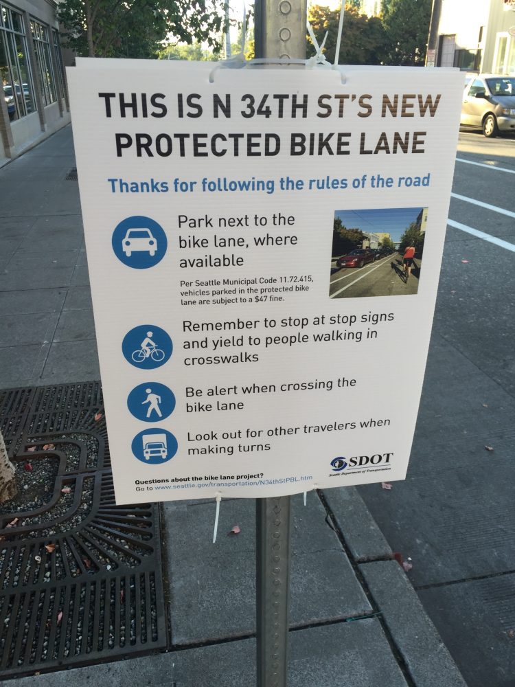
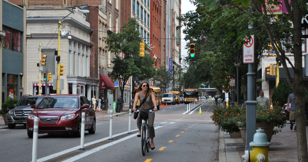
There is no singular design prescription for Complete Streets; each one is unique and responds to its community context. A complete street may include: sidewalks, bike lanes (or wide paved shoulders), special bus lanes, comfortable and accessible public transportation stops, frequent and safe crossing opportunities, median islands, accessible pedestrian signals, curb extensions, narrower travel lanes, roundabouts, and more." — Smart Growth America

What's the status of Complete Streets in Baltimore?

Building complete streets requires both leadership (like mayors and DOT directors) that is dedicated to it and policy in place that directs the city, its planners and engineers to design complete streets. 

In late 2009, Mayor Sheila Dixon’s Bicycle Advisory Committee worked with Councilwoman Mary Pat Clarke to introduce a Mayor and City Council Resolution for Complete Streets. The bill sat for several months. With advocacy from the bicycle community, the bill came out of subcommittee in December of 2010 and was subsequently passed by the full City Council and signed by Mayor Stephanie Rawlings-Blake.

At the time, Baltimore was on the leading edge of cities passing complete streets legislation that prioritized multi-modal transportation options on city streets. However, the downside of being one of the first cities to pass such legislation is that the language of Baltimore’s complete streets bill lacked specificity and contained significant loopholes.

As a result, over the past six years Baltimore City Department of Transportation has routinely ignored the spirit of the complete streets legislation, resulting in planning, design, and construction of streets that prioritize moving cars over moving people — the exact opposite of what complete streets legislation tries to achieve.

What's next?

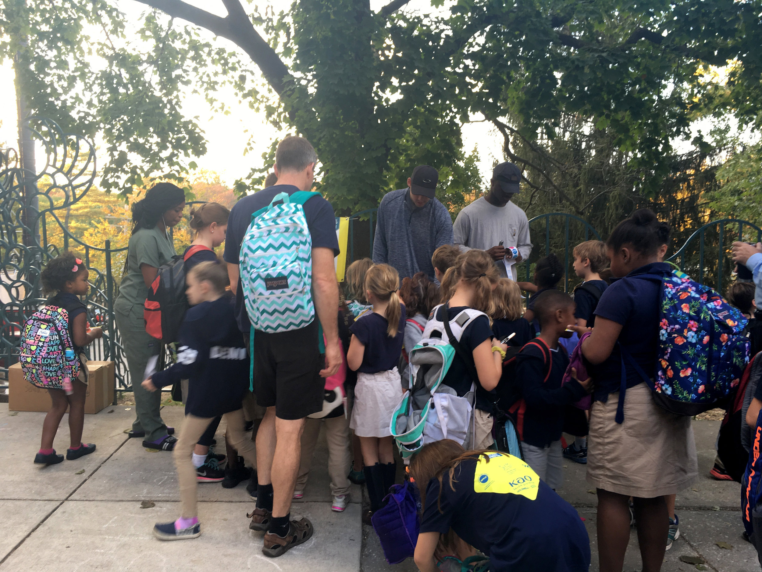
Planning for cars first is not just a transportation problem, it's an equity problem. Promoting private vehicle throughput over safe options for transit, biking and walking unfairly harms our most vulnerable road users, who also often are individuals in our city most in need of connections to opportunity.

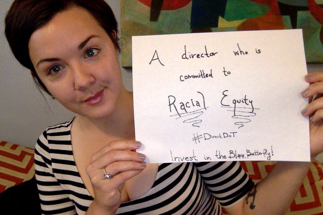
Bikemore is working with Councilwoman Mary Pat Clarke and the incoming City Council to introduce a new, stronger Complete Streets Ordinance that will more clearly outline the intent of complete streets, mandate certain design standards, and require DOT to report regularly on progress.

What are we advocating for?

We're advocating that the new legislation be specific and measurable. Here are a few of the requirements in the proposed new legislation (none of which were in the original legislation):

  • Mandate a “modal hierarchy” of pedestrians first, followed by transit riders, bicyclists, automobiles, and parking. Simply put, the bill will require design to prioritize people who walk, bike, or take transit over people in private automobiles.

  • Mandate use of the latest urban design standards over the dated manuals currently in use.

  • Remove the “Motor Vehicle Level of Service” standard, and apply “Multi-Modal Level of Service” methodology, if a level of service standard is used at all. This means adding bike lanes, reducing travel lanes, and making other pedestrian, transit, and bicycle improvements won’t be thrown out of consideration due to potential delays for individuals in personal vehicles.

  • Mandate travel lane widths at a maximum of 10 feet, except on mapped transit and truck routes, where lane widths may be 11 feet. Many roads in Baltimore have lane widths wider than the standard for highways, which encourages people to drive at higher speeds on these roads. Narrowing the travel lanes will calm traffic and add space for bicycle and walking improvements over time.

  • Mandate a default design vehicle similar in size to a UPS delivery truck — meaning design streets (that aren't truck or public transit routes) to be optimal for a large delivery van rather than an 18-wheeler. When streets are designed or changed, the city uses a "design vehicle" as the typical road user. Baltimore currently uses a 18-Wheel tractor trailer as the default design vehicle, even on streets where trucks are not permitted. This results in wide travel lanes, soft curbs, and far distances for pedestrian crossings to facilitate truck turns that will never happen on those streets. 

  • Mandate street design that limits visual clutter and remains sensitive to Baltimore's historic character.


While the Complete Streets Bill from 2010 was a step in the right direction, it wasn't specific enough to implement and wasn't made a priority by the administration. This new bill will be a huge step forward for Baltimore, and allow us to catch up to neighboring cities and begin to address the inequity of our roadway planning. Paired with a visionary complete streets leader to #DirectDOT, we will be empowered to implement world-class complete streets treatments in Baltimore.

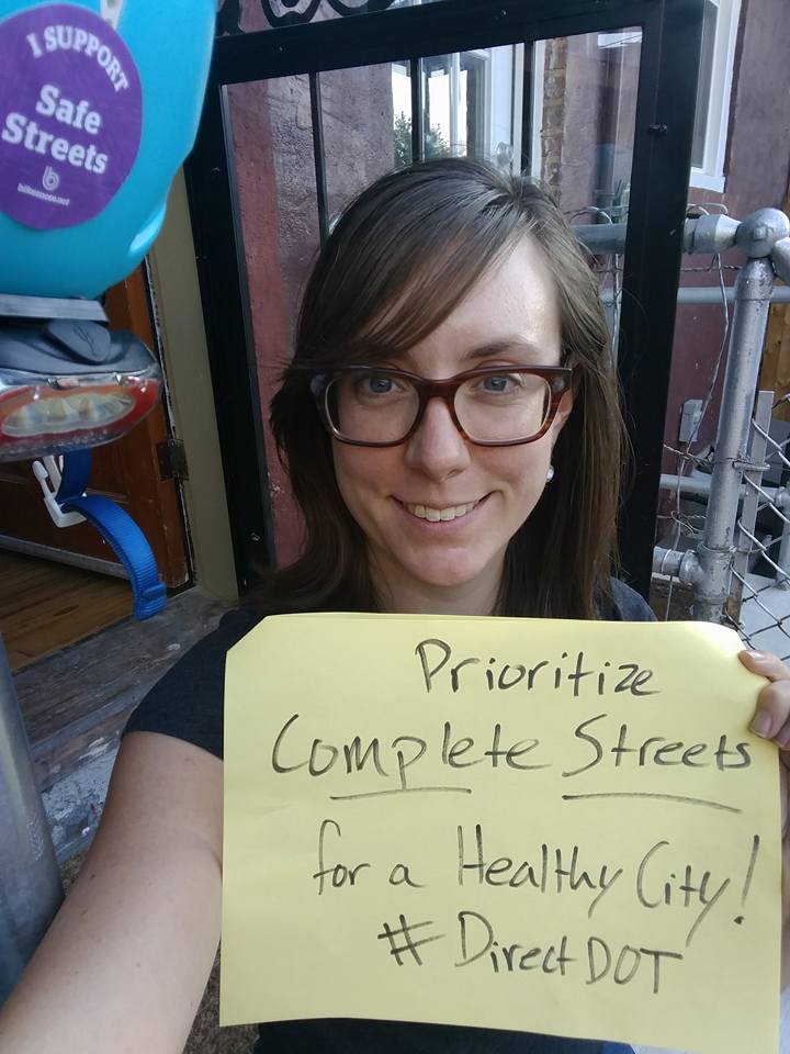
→ Share your vision for Complete Streets in Baltimore through our #DirectDOT campaign!


Our work achieves tangible outcomes, like Complete Streets policy, that ensures Baltimore streets are designed for everyone. We need your support to keep winning for livable streets.